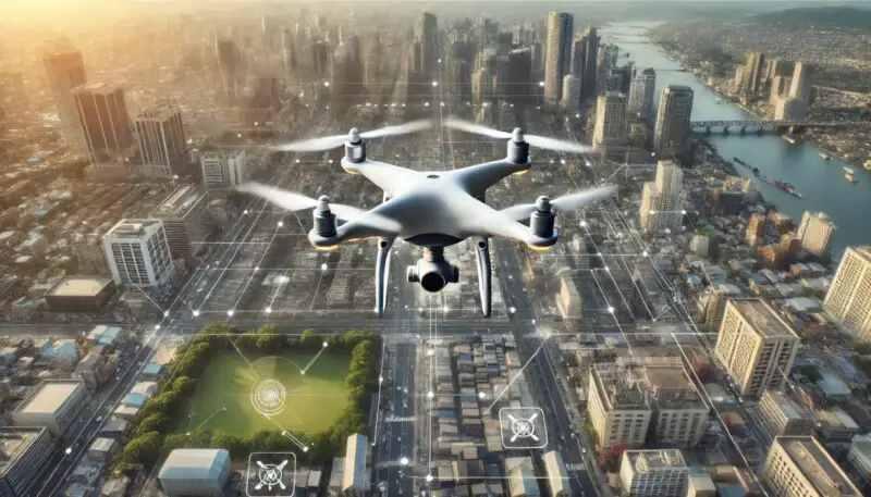
Imagine a painter with a palette of infinite colors and a brush that moves with the precision of a surgeon. This is what happens when artificial intelligence (AI) merges with drone photography. The symbiotic relationship between AI and drones opens up new dimensions in capturing the world from above, transforming how we perceive and interact with our environment.
The challenge is integrating these advanced technologies seamlessly to enhance the capabilities of aerial photography while making it accessible and intuitive for users. This article explores the cutting-edge innovations in AI-driven drone photography, from autonomous flight modes to AI-optimized flight paths and automated panorama creation.
By reading this article, you will gain insights into how AI is revolutionizing drone photography, making it more precise, efficient, and interactive. Whether you are a professional photographer, a tech enthusiast, or simply curious about emerging technologies, this comprehensive guide will provide valuable knowledge and inspire you to explore the endless possibilities of AI and drone photography.
1. Autonomous Drone Photography
Autonomous drone photography leverages AI to simplify complex tasks, enabling drones to capture high-quality aerial imagery with minimal manual intervention. The Autel EVO II, for example, supports various intelligent flight modes that automate different aspects of drone operation.
These modes include Manual Flight, Dynamic Track, Parallel Track, Tripod Track, Viewpoint, Orbit, Gesture, VR, Precision Flight, Dual Stability, and Intelligent Photo Operations Control.
Utilizing these intelligent flight modes, drones can perform tasks such as tracking moving targets, capturing smooth circling footage, responding to specific gestures, and providing immersive VR experiences.
These features significantly enhance the user experience by reducing the need for manual control and allowing photographers to focus on creativity. For instance, the Autel EVO II Multiple Intelligent Flight Modes provide a comprehensive suite of options to capture stunning aerial shots effortlessly.
AI Flight Path Optimization

AI flight path optimization involves using advanced algorithms to enhance the precision and efficiency of drone movements. Key features include gesture recognition, body following, face following, and 3-axis PID control.
These technologies enable drones to autonomously navigate complex environments, ensuring optimal flight paths for capturing desired images and videos.
By implementing AI-driven techniques, drones can track body poses, maintain stable tracking of faces, and smoothen movements using PID controllers. This results in more precise and stable aerial footage, reducing the chances of errors and enhancing the overall quality of the captured content.
The Advanced Drone Programming – Computer Vision Zone provides detailed insights into how these technologies are applied, making drone operations more efficient and reliable.
Automated Panorama Creation
Automated panorama creation utilizes oblique photography technology combined with advanced positioning and 3D modeling engines to create immersive panoramic views. This technique is widely used in applications such as urban management and disaster monitoring, but it also has innovative applications in online tourism.
The ability to create high-quality, interactive 3D models and panoramic views enhances user experience in applications like tourism. For example, the use of the Cesium engine and JavaScript for dynamic interactivity allows users to explore 3D real online travel applications.
The usability of these applications is evaluated using the Mobile Application Rating Scale (MARS) to ensure they provide functionality, engagement, and high information quality. The study on The application of unmanned aerial vehicle oblique photography technology in online tourism design highlights the potential of this technology in transforming online tourism experiences.
Wrap up
The fusion of AI and drone technology is revolutionizing aerial photography by introducing autonomous flight modes, optimizing flight paths, and automating panorama creation.
These advancements are making drone operations simpler and more intuitive while enhancing the quality and interactivity of aerial imagery. The integration of AI enables more precise, efficient, and user-friendly drone applications, opening new perspectives in various fields such as tourism, urban planning, and disaster management.
For more detailed information, you can visit the following sources:
